Where is Ol Doinyo Lengai Located?

Ol Doinyo Lengai stands in northern Tanzania, in the Gregory Rift, about 16 kilometres south of Lake Natron and close to the Kenyan border. It is in the Ngorongoro District of the Arusha Region, not inside Ngorongoro Crater and not in the Serengeti. The summit is about 2,962 metres. To the Maasai it is the Mountain of God. On a map it is the pale cone at the south end of a soda lake, with the Crater Highlands to the south and the rift escarpment on either side.
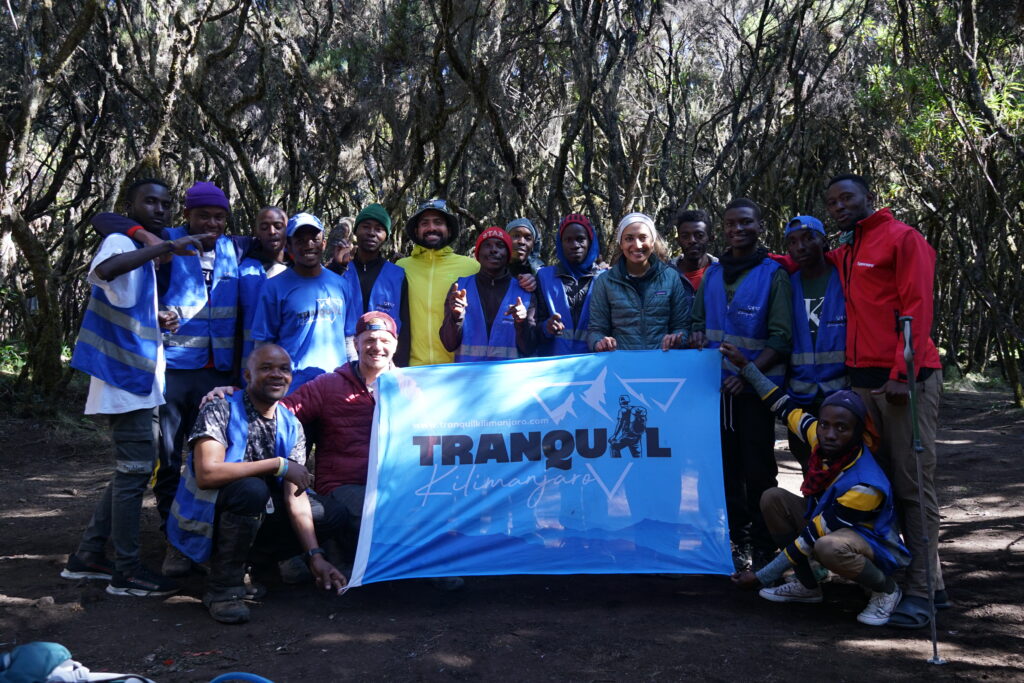
Mount Kilimanjaro guides and porters

Location of Ol Doinyo Lengai on the world map

The mountain sits just south of the equator, in East Africa, on the eastern branch of the East African Rift. That rift runs from the Afar Triangle in Ethiopia down through Kenya and Tanzania toward Mozambique. Lengai is one of the active volcanoes on the Tanzanian stretch, and the only one that still erupts natrocarbonatite lava.
On a world map it falls in the northern third of Tanzania, east of the Serengeti, north of Ngorongoro, and southwest of Nairobi. Lake Natron lies immediately north of the cone. The Kenyan border is a short distance beyond the lake. Kilimanjaro is about 150 kilometres to the southeast in a straight line, far enough to be a separate skyline, close enough to be visible from the rim on a clear dawn.
The useful local point is Engare Sero, the village on the southwestern shore of the lake where climbs are organised. The cone itself has no town, no road to the crater, and no lodge. You sleep at the lake and drive to the foot at midnight.

Where is Ol Doinyo Lengai

Distance from major cities in Tanzania

Straight-line distance and the drive are different numbers. The rift roads bend, and the last stretch is a 4×4 track.
Arusha is the gateway. The summit is about 110 kilometres northwest of the city in a straight line. By road, via Mto wa Mbu and the rift track to Engare Sero, operators quote about 200 to 240 kilometres and four to six hours. Kilimanjaro International Airport, between Arusha and Moshi, is about 150 kilometres from the cone as the crow flies, plus that same drive after the hour into town.
Moshi, the Kilimanjaro town, is about 170 kilometres in a straight line and a longer road day, because you still pass through or around Arusha. Dodoma, the capital, is roughly 380 kilometres away and not a practical start. Dar es Salaam is about 580 kilometres in a straight line, a domestic flight to Arusha or Kilimanjaro followed by the Natron drive. Mwanza, on Lake Victoria, is about 330 kilometres west and is not on the usual approach.
Within the north, the neighbours are closer than the cities. Kerimasi, the next volcano south, is only about 14 kilometres away. Olduvai Gorge is on the order of 70 kilometres to the southwest. The Ngorongoro highlands begin a short distance south of the cone.

Where is Ol Doinyo Lengai

Nairobi

Nairobi is about 190 kilometres north-northeast of the summit in a straight line, across the border in Kenya. It is not a day trip. The usual route is a border crossing into Tanzania, then a long drive down the rift or via Arusha, and it takes most of a day in a 4×4. Some itineraries link Natron to the Serengeti or to Nairobi as a through-route rather than an out-and-back. There is no scheduled flight from Nairobi to the volcano. A charter into a Natron airstrip is the air shortcut, still with a vehicle at the other end.
Climbers coming from Kenya need a Tanzanian visa or the correct East African entry status, and they should not assume a Kenyan park ticket covers Lake Natron. The mountain is in Tanzania. The guide, the village fee, and the TAWA charge are paid on the Tanzanian side.

Where is Ol Doinyo Lengai

Can you see Ol Doinyo Lengai from the Serengeti, Arusha, and Ngorongoro?

From Arusha, no. The city sits in a basin east of Mount Meru, about 110 kilometres from the cone, with high ground in between. Lengai is not on the Arusha skyline. Meru is.
From the Ngorongoro highlands, sometimes. The crater rim and the peaks of the Crater Highlands are only about 60 to 80 kilometres south of Lengai, and the volcano is part of that same volcanic system. On a clear day the pale cone can show to the north from higher ground in the highlands, and the view the other way is the famous one: from Lengai’s rim at sunrise, the Ngorongoro highlands, and often Kilimanjaro, stand on the horizon. From inside Ngorongoro Crater itself, the crater walls block the rift. Do not expect Lengai from the crater floor.
From the Serengeti, only from the right hill on a clear day. Seronera, in the centre of the park, is about 125 kilometres west of the cone. Most game-drive country looks across plains, not at a rift volcano. The eastern Serengeti and the high ground toward the Ngorongoro escarpment are the places where a distant cone is plausible. It is not a landmark of a standard central-Serengeti day. The reliable view is from Lake Natron, where the mountain fills the southern shore, and from the climb itself.

Where is Ol Doinyo Lengai

What are the coordinates?

The summit coordinates used by the Smithsonian and by Wikipedia are 2°45′50″ S, 35°54′50″ E, or −2.764, 35.914 in decimal degrees. Elevation at that point is about 2,962 metres. A pin dropped there lands on the crater rim, not on the village and not on a road.
For a driver, the useful pin is Engare Sero, on the southwestern shore of Lake Natron, roughly a dozen kilometres from the summit. That is where the camps are, where the guide is hired, and where the midnight transfer to the trailhead starts. The cone is the view from that pin. It is not the address you type into a city navigation app.

Where is Lake natron

Where is Lake Natron located?

Lake Natron lies in northern Tanzania, in the Gregory Rift, hard against the Kenyan border. It is a shallow soda lake at the lowest part of this stretch of the rift, with Ol Doinyo Lengai rising about 16 kilometres to the south. The usual visitor base is Engare Sero, on the southwestern shore, in the Ngorongoro District of the Arusha Region.
The lake runs roughly north–south for about 57 kilometres and is up to about 22 kilometres wide, covering on the order of 1,250 square kilometres when it is full. It is rarely more than a few metres deep. The southern Ewaso Ng’iro, which rises in Kenya, is the main river inlet, with the Engare Sero and other seasonal streams and springs adding water that then evaporates in extreme heat. What is left is a brine with a pH often between 9.5 and 12. The red shallows are salt-loving microorganisms, not dye. Lesser flamingos use the lake as their main breeding site in the Rift.
On a map it sits just south of the equator, east of the Serengeti and north of the Ngorongoro highlands. Nairobi is about 190 kilometres to the north-northeast in a straight line. Arusha is about 110 kilometres southeast of Lengai, and the drive to Engare Sero is about 200 to 240 kilometres, four to six hours by 4×4. The lake is not inside Serengeti National Park or Ngorongoro Crater. It falls in the Lake Natron Game Controlled Area, managed with TAWA and the local communities.
A working pin for the southern shore is about 2°25′ S, 36°00′ E. Engare Sero, where the camps and the Lengai climb start, is farther south, near 2°39′ S, 35°55′ E. The water itself is not a destination you drive into. The address is the village on the shore, with the volcano at the end of the view.

Book Your Ol Doinyo Lengai Trek!

Or

Call: +255747541280

Scroll to Top