Ol Doinyo Lengai – Lake natron Weather & Temperature

Ol Doinyo Lengai and Lake Natron both sit in one of the hottest, driest corners of northern Tanzania, then rises far enough that the crater rim before dawn feels like a different climate. The lake basin is a hot semi-desert. The summit, at about 2,962 metres, is cool, windy, and often close to freezing in the hour before sunrise. The climb is timed for night precisely because of that split.
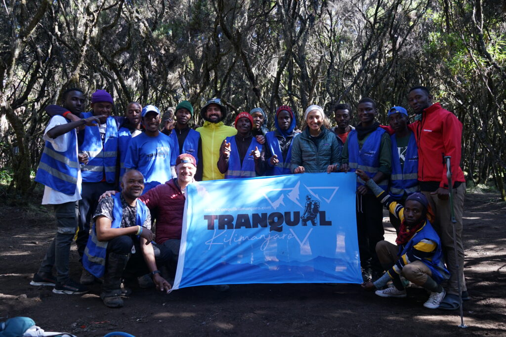
Mount Kilimanjaro guides and porters

How cold it is at the peak

The coldest moment is usually the pause at the rim, not the walking. You arrive damp, the wind crosses the ridge, and you stop to look at the crater. In July and August that wait can feel close to 0 °C in a breeze. In January it is more often simply chilly. There is no permanent ice. The white cap visible from the lake is natrocarbonatite ash and altered lava, not snow.
Daytime on the summit is a different matter. Once the sun is up the dark and pale ash radiates heat, and the walk down through the middle slopes is hot. People who pack only for the summit arrive at the village overdressed and dehydrated. People who pack only for the lake arrive at the rim shivering. The working range for a climb night is about 5 °C at the windy rim before dawn to above 30 °C on the lower slopes by mid-morning.

Weather around Ol Doinyo Lengai

Lake Natron and Lengai Weather through the year

The Gregory Rift around Lake Natron has two wet seasons and two dry ones. The long rains run from about March to May, with April the wettest month on the approach roads. The short rains fall mainly in November, sometimes into December, usually as afternoon storms rather than days of steady rain. June to October is the long dry season. January and February are hot and mostly dry, a short gap between the rains.
TAWA describes the Lake Natron game controlled area as hot at low altitude and cooler higher up, with rainfall from under 500 millimetres a year on the lowlands to about 900 millimetres on higher ground. Days at the lake frequently exceed 40 °C, especially in January and February. Operator climate notes put dry-season daytime highs in the low-to-mid 30s °C from June to October, and into the high 30s or above 40 °C in January and February. Nights at the lake drop to about 17–18 °C in July and August, and stay around 20–22 °C in the hotter months.
Wind is usually moderate, but the cone is exposed. Cloud often builds on the upper slopes by late morning, which is another reason groups want to be on the way down by then. Ash and dust blow on the upper scree even on clear nights.
June to October, plus the drier weeks of January and February, are the reliable climbing months. Slopes are firmer, roads are more likely to be passable, and night temperatures on the ascent are comfortable once you are moving. In the long rains the ash turns slick, the escarpment road can close, and a summit attempt is a poorer bet.

Weather around Ol Doinyo Lengai

Vegetation zones

Lengai does not carry the forest belts of Kilimanjaro or Meru. Ash, a rain shadow, and alkaline soils keep the cone open.
The rift floor and lake margin are semi-desert. Thorn scrub, scattered acacia, saline flats, and short grassland sit around the soda lake. Little grows in the brine itself. The ecological oddity here is the lesser flamingo, which breeds on the lake, not a forest belt.
Grassland is the main vegetation on the lower mountain and the surrounding country, and it reaches about 1,750 metres. Volcanic ash from Lengai fertilises some of these plains; nutrient-rich grasses on the downwind side of the cone are one reason the area has long been grazing country for Maasai herds.
Above the grassland the slopes turn to scrub on ash: low bushes, tussock, and bare scree, thinning quickly with steepness. By the upper cone, from roughly 2,200 metres to the rim, the mountain is effectively barren. Loose ash, lava channels, and pale carbonatite flows replace plants. The crater floor is a geological surface, not a habitat, and it changes with each eruptive phase.
From the lake at dawn the white summit can look snow-covered. It is the ash. The climb passes from hot thorn country, through grassland, onto a bare active cone, in a single night.

Weather around Ol Doinyo Lengai

Temperature range

Think of three bands, not one number.
At Engare Sero and the lake shore, roughly 600 metres, daytime temperatures of 30–40 °C are normal, and January–February can run hotter. Shade is scarce. The midnight start is a heat strategy as much as a sunrise plan.
On the lower and middle slopes, from about 1,000 to 2,200 metres, the night climb is mild. A T-shirt is often enough while you are working. The air dries out and the wind picks up as the angle steepens.
At the rim, expect a drop that feels larger than the elevation alone suggests. A standard lapse rate of about 6.5 °C per 1,000 metres puts the summit roughly 15 °C cooler than the basin. A 35 °C afternoon at the lake can still be in the low 20s °C on the rim in full sun. Before dawn, with a lake night of 17 °C and wind on an exposed ridge, the rim commonly feels around 5–10 °C, and colder in June–August. Climbers regularly describe the sunrise stop as freezing and are glad of a fleece, shell, beanie, and gloves. That is wind and standing still after a sweat-soaked climb, not a Kilimanjaro winter. You will not need a down suit. You will want a layer you can put on at the crater and take off again on the descent, when the sun on the ash becomes the problem within an hour.

Book Your Ol Doinyo Lengai Trek!

Or

Call: +255747541280

Scroll to Top